
Wednesday, August 29, 2012
Wednesday, August 22, 2012
Plant OR Animal Distributions
BOMAP has the best plant distribution maps, by county.
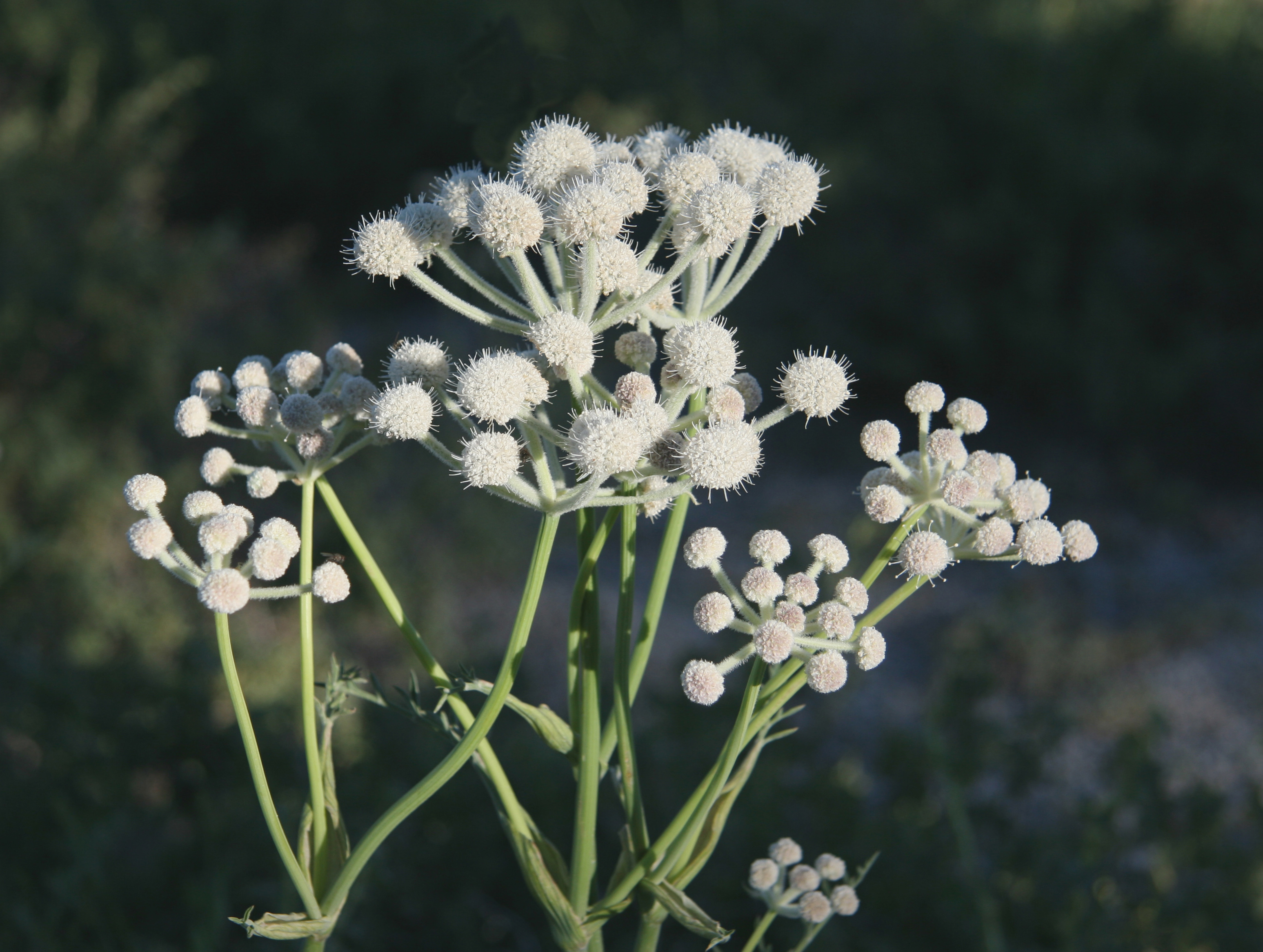
Sphenosciadium capitellatum:

The GAP program has the best vertebrate distribution maps (modeled).
American Pika (Ochotona princeps):


Sphenosciadium capitellatum:
The GAP program has the best vertebrate distribution maps (modeled).
American Pika (Ochotona princeps):

Apparently, there are ticks, everywhere
Best resource on identifying ticks:
http://www.cdc.gov/ticks/geographic_distribution.html

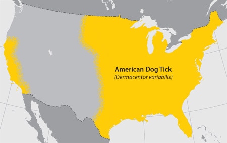
http://www.cdc.gov/ticks/geographic_distribution.html
Idaho Forest Fires
View of the Halstead fire in the Salmon-Challis National Forest on July 31st from SR-21.

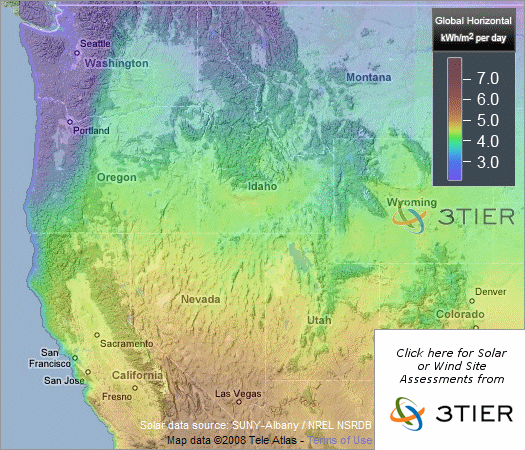
Summer convective thunderstorms add only a small amount to the water budget of the Northern Rockies, and the fire season here typically picks up when evaporation greatly exceeds precipitation in the latter half of the summer.
Percent of normal precipitation, June 21st to August 21st:

from http://water.weather.gov/precip/
2012 has been a dry summer, and there are currently three major forest fires burning in central Idaho (from north to south): the Mustang Complex that grew out of the uncontainable Chrandal Creek Fire, the Halstead Fire Northwest of Stanely, ID, and the Trinity Ridge Fire Northwest of Anderson Ranch Resevoir and Pine, ID. This image from August 10th clearly shows the smoke plumes from these three megafires, which have each burned nearly 100,000 acres of forest so far, with no end in sight.

Craters of the Moon National Monument lavafields are visible in the lower right corner, Boise is in the lower left, Lake Cascade and McCall are in the center left, and Montana is just visible in the upper right.

Percent of normal precipitation, June 21st to August 21st:

from http://water.weather.gov/precip/
2012 has been a dry summer, and there are currently three major forest fires burning in central Idaho (from north to south): the Mustang Complex that grew out of the uncontainable Chrandal Creek Fire, the Halstead Fire Northwest of Stanely, ID, and the Trinity Ridge Fire Northwest of Anderson Ranch Resevoir and Pine, ID. This image from August 10th clearly shows the smoke plumes from these three megafires, which have each burned nearly 100,000 acres of forest so far, with no end in sight.

from http://activefiremaps.fs.fed.us/
Subscribe to:
Posts (Atom)